Log in
All resources
Create a design
2,988 Free Images of English Language
bibliothèque nationale de france
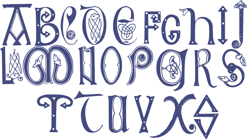
alphabet
letter
ornament
english-language maps
wine
swirls
calligraphy
decorative letters
maps by thomas kitchin
bethlem royal hospital
realism
illustrations by warwick goble
nala-damayanti
paintings of ganga
shantanu
alphabet
abc
ornament
wine
ornament
wine
a history of the town and parish of nantwich, or wich-malbank, in the county palatine of chester (1883)
english-language family trees
illustrations by warwick goble
disrobing of draupadi
historical
history
carte du mexique et de la floride by guillaume delisle (1703)
bibliothèque nationale de france
ornament
wine
ornament
wine
ribbon
blue
ribbon
blue
old maps of the nordic region
1840 maps
maps by emanuel bowen
1740 maps
1750s maps of the caribbean
maps by thomas kitchin
chorographia britanniae (1741-1742)
england in the 1740s
chorographia britanniae (1741-1742)
bibliothèque nationale de france
maps by thomas starling
1842 maps
our empire story by h. e. marshall
j. r. skelton
tipu sultan in art
j. r. skelton
bibliothèque nationale de france
maps by thomas kitchin
chorographia britanniae (1741-1742)
bibliothèque nationale de france
18th-century maps of england and wales
chorographia britanniae (1741-1742)
bibliothèque nationale de france
maps by thomas kitchin
bibliothèque nationale de france
maps by thomas kitchin
midle-sex described with the most famous cities of london and westminster (1610)
bibliothèque nationale de france
an accurate map of england and wales , drawn from all the particular surveys hitherto publish'd. illustrated with many additional improvements, and regulated by numerous astronomical observations made by... - btv1b53181614s
maps by thomas kitchin
midle-sex described with the most famous cities of london and westminster (1610)
context files from gallica
ornament
wine
ornament
wine
ornament
wine
ornament
wine
elephant riding in art of india
illustrations by warwick goble
an accurate map of england and wales , drawn from all the particular surveys hitherto publish'd. illustrated with many additional improvements, and regulated by numerous astronomical observations made by... - btv1b53181614s
maps by thomas kitchin
henry william bunbury
english-language books about london
old maps of the city of london
robert clive, 1st baron clive in art
j. r. skelton
symbol
school
english-language books about london
crosby hall
illustrations by warwick goble
indian myth and legend (1913)
our empire story by h. e. marshall
j. r. skelton
the gout (gillray)
the history and antiquities of london, westminster, southwark and parts adjacent
english-language books about london
1800 maps of the atlantic ocean
1800s maps of the americas
ornament
wine
maps of circumnavigations of the world
1740s maps of the world
maps by john cary
1799 maps
antoine-françois tardieu
pierre antoine tardieu
maps indicating exploration
royal geographical society
ornament
wine
alphabet
ribbon
historical
history
historical
history
1900 landscape paintings from denmark
paintings by august fischer
1840s maps showing history
maps by thomas starling
maps of saint paul's journeys
maps by thomas starling
animals
food
christmas
food
a topographical map of the county of berks (1761)
bibliothèque nationale de france
geological maps of england
william smith (geologist)
old county maps of hertfordshire
maps by thomas kitchin
1710s maps of the world
maps by edward wright
18th-century maps of the sea of marmara
18th-century maps of the dardanelles
baroque,dutch golden age painting
1907 books
a topographical map of the county of berks (1761)
bibliothèque nationale de france
a topographical map of the county of berks (1761)
bibliothèque nationale de france
athletics at the 1906 summer olympics
the olympic games at athens, 1906
character
ancient
ornament
wine
maps by pieter mortier
maps from gallica
military history of the mughal empire
j. r. skelton
our empire story by h. e. marshall
j. r. skelton
18th-century maps of edinburgh-shire
maps of scotland by herman moll
our empire story by h. e. marshall
j. r. skelton
dutch golden age painting
1907 books
1858 van de velde maps of palestine and jerusalem
eran laor cartographic collection
chorographia britanniae (1741-1742)
18th-century maps of sussex
maps by john cary
1806 maps of asia
maps by john cary
1799 maps
1700s maps of germany
battle of blenheim
pierre antoine tardieu
maps from gallica
bibliothèque nationale de france
maps by thomas kitchin
18th-century maps of corsica
maps by thomas kitchin
a new map of the island of tobago... - by tho.s kitchin... - btv1b53121990k
maps by thomas kitchin
1858 van de velde maps of palestine and jerusalem
eran laor cartographic collection
1858 van de velde maps of palestine and jerusalem
eran laor cartographic collection
1858 van de velde maps of palestine and jerusalem
eran laor cartographic collection
1858 van de velde maps of palestine and jerusalem
eran laor cartographic collection
1858 van de velde maps of palestine and jerusalem
eran laor cartographic collection
english-language maps
maps by john cary
18th-century maps of the malay archipelago
1790s maps of china
ornament
wine
maps by john cary
1799 maps
a new map of the island of tobago... - by tho.s kitchin... - btv1b53121990k
maps by thomas kitchin
1858 van de velde maps of palestine and jerusalem
eran laor cartographic collection
1858 van de velde maps of palestine and jerusalem
eran laor cartographic collection
1858 van de velde maps of palestine and jerusalem
eran laor cartographic collection
1858 van de velde maps of palestine and jerusalem
eran laor cartographic collection
2101 - 2200 of 2,988
Next page
/ 30


![An Alphabetical List of all the Cities, Boroughs, & Market Towns in England & Wales / [Badeslade]; W.H. Toms sculp., 1741](https://cdn.creazilla.com/illustrations/10000199143/an-alphabetical-list-of-all-the-cities-boroughs-market-towns-in-england-wales-badeslade-wh-toms-sculp-1741-md.jpg)
![A Table of the High Roads through England and Wales.Tab.2. to follow Plate 3 / [Badeslade]; W.H. Toms sculp., 1741](https://cdn.creazilla.com/illustrations/10001464220/a-table-of-the-high-roads-through-england-and-walestab2-to-follow-plate-3-badeslade-wh-toms-sculp-1741-md.jpg)


![A Table of the High Roads through England and Wales.Tab.1. to follow Plate 3 / [Badeslade]; W.H. Toms sculp., 1741](https://cdn.creazilla.com/illustrations/10000549648/a-table-of-the-high-roads-through-england-and-walestab1-to-follow-plate-3-badeslade-wh-toms-sculp-1741-sm.webp)


![Midle-Sex described with the most famous cities of London and Westminster / Described by Iohn Norden; Augme[n]ted by I. Speed; Jodocus Hondius caelavit, 1610](https://cdn.creazilla.com/illustrations/10001324000/midle-sex-described-with-the-most-famous-cities-of-london-and-westminster-described-by-iohn-norden-augmented-by-i-speed-jodocus-hondius-caelavit-1610-sm.webp)

![Midle-Sex described with the most famous cities of London and Westminster / Described by Iohn Norden; Augme[n]ted by I. Speed; Jodocus Hondius caelavit, 1610](https://cdn.creazilla.com/illustrations/10001372370/midle-sex-described-with-the-most-famous-cities-of-london-and-westminster-described-by-iohn-norden-augmented-by-i-speed-jodocus-hondius-caelavit-1610-md.jpg)